Morphological Filter
The Morphological Filter contains several Operations.
Each Operation requires the input of a Sphere Radius, which controls the size of the region in which the filter is applied. Click Apply to use the selected Operation.
Some of the Operations are illustrated with an example based on an artificial gray value image consisting of a few grains at high porosity. The 2D slice images show a preview of the multiple threshold segmentation as described here.
|
Know how! The effects of the Operations in the Morphological Filter are best seen in the Segmentation Overlay. Here, you can directly observe the impact on the resulting structure. The following images show the image data with this overlay activated. |

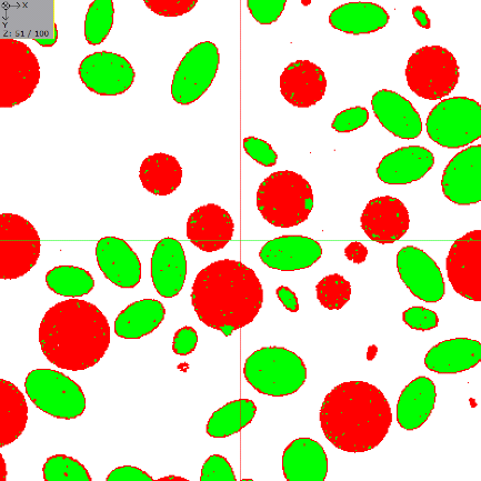
- Opening: Removes bright structures smaller than the specified spheres. Please note that the Cleanse tool in ProcessGeo can remove these island artifacts from segmented structures as post-processing.
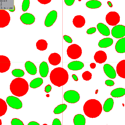
- Closing: Removes dark structures smaller than the given spheres. Please note that the Cleanse tool in ProcessGeo can remove these island artifacts from segmented structures as post-processing.
- Top Hat: Removes bright regions larger than the specified sphere.
- Bottom Hat: Removes dark regions larger than the specified sphere.
- Erosion: Grows dark regions in the image. It assigns the darkest gray value to spheres with the specified radius in the entire image.
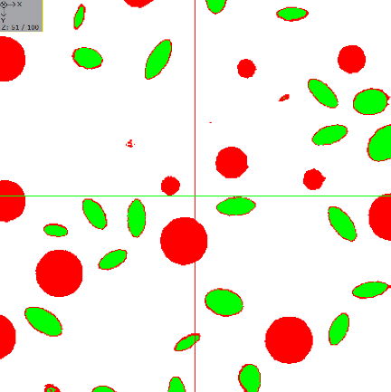
- Dilation: Grows bright regions in the image. It assigns the brightest gray value to spheres with the specified radius in the entire image.
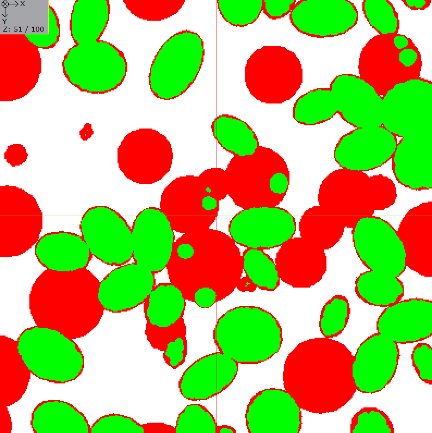
- Gradient: Both Erosion and Dilation are applied to the image. Then, the eroded image is subtracted from the dilated image to highlight the gradients and borders.
|
Know how! You can Save your current settings for this tool as Start-Up Settings . The next time you process an image, these settings will be automatically loaded and filled into the parameter fields. You can also load the Built-In Default Settings available in GeoDict. If you change any settings and want to revert to your saved start-up settings, click the corresponding button to Load the Start-Up Settings . |